A Complete Guide to Hiking Ćurevac Peak

Everything you need to know about hiking Ćurevac Peak for the best views of the Tara River Canyon in Durmitor National Park.
This post may contain affiliate links, which means we might earn a small commission on anything purchased through these links at no extra cost to you. Learn more on our disclaimer page.
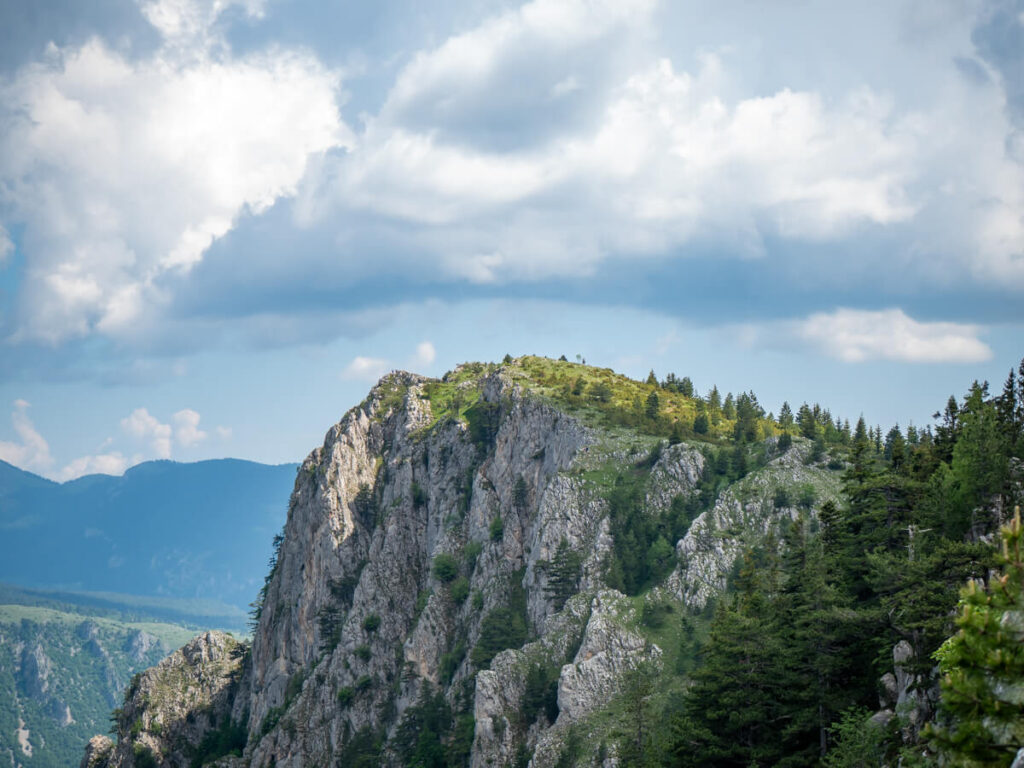
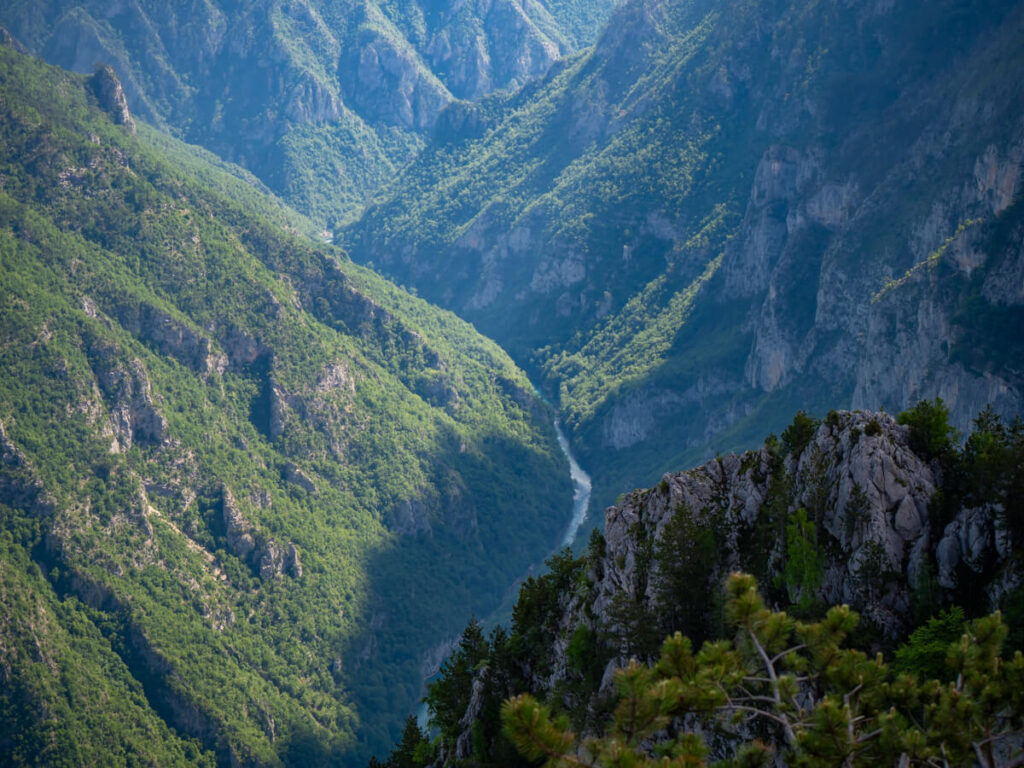
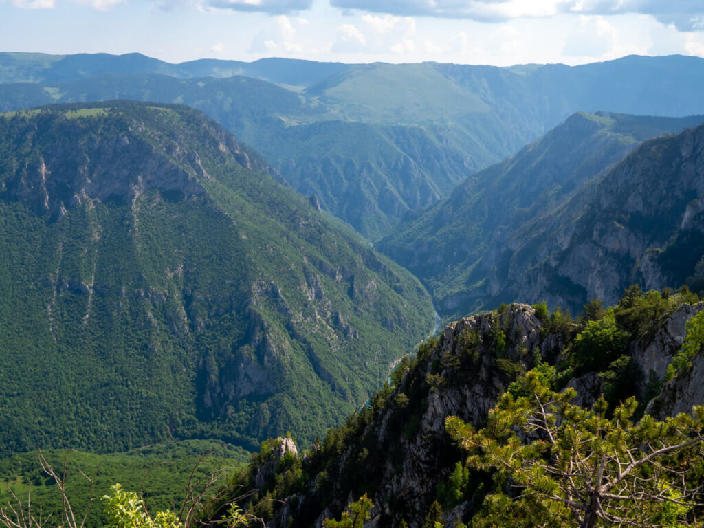
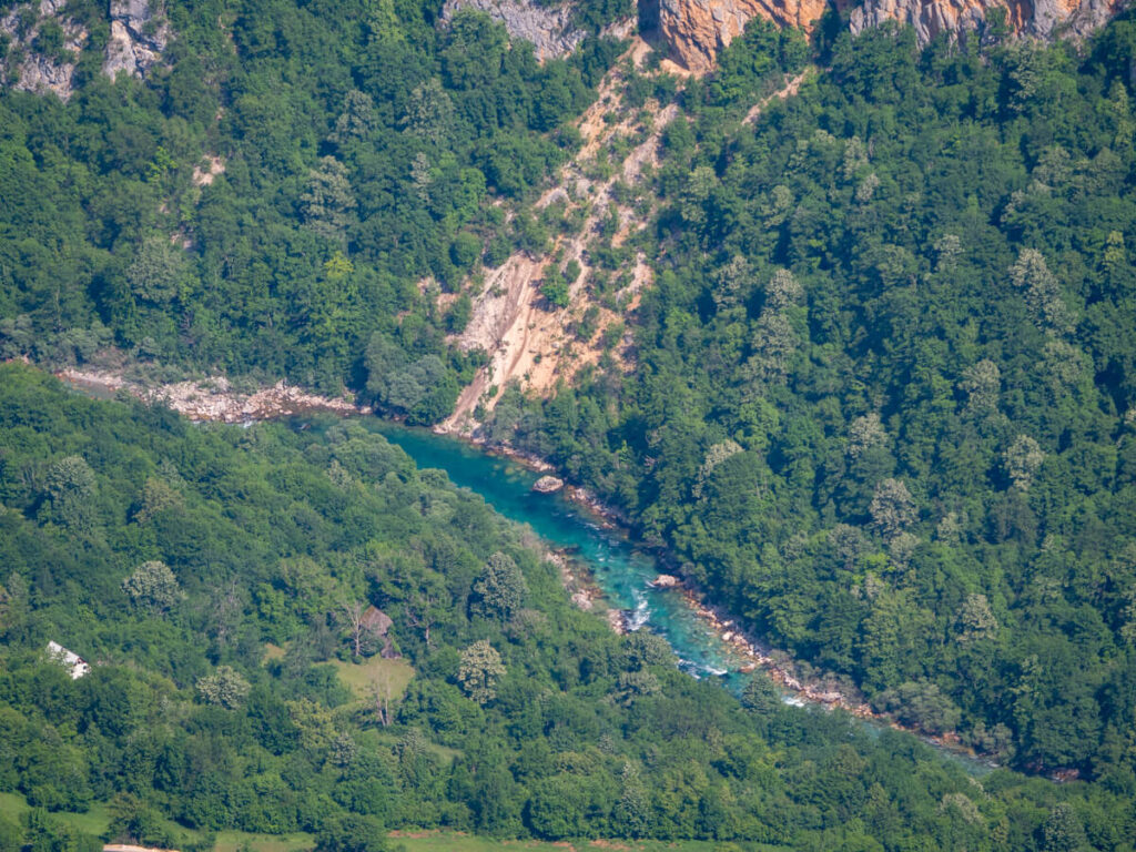
Ćurevac Peak may be considerably lower than Durmitor’s famous summits, but what it lacks in elevation it more than makes up for in views. Perched precariously on the edge of the Tara River Canyon, the summit offers one of the best panoramas in Durmitor National Park, with sheer, forest-clad cliffs dropping towards the turquoise Tara River and layers of rugged mountains stretching into the distance.
The Ćurevac Peak hike itself is also much more approachable than some of Durmitor’s bigger summit routes, and it became one of our favourite trails in Montenegro. But the trail still involves a steady climb, rocky sections, and some exposed viewpoints near the summit, with multiple trailhead options and a real lack of online information.
Discover everything you need to know about the Ćurevac hike, including how to get there, trail length, difficulty, what the route is actually like, the best viewpoints, when to go, and our practical tips for making the most of your hike, in this guide.
The Ćurevac Peak hike at a glance
More from Durmitor National Park
What is Ćurevac Peak?
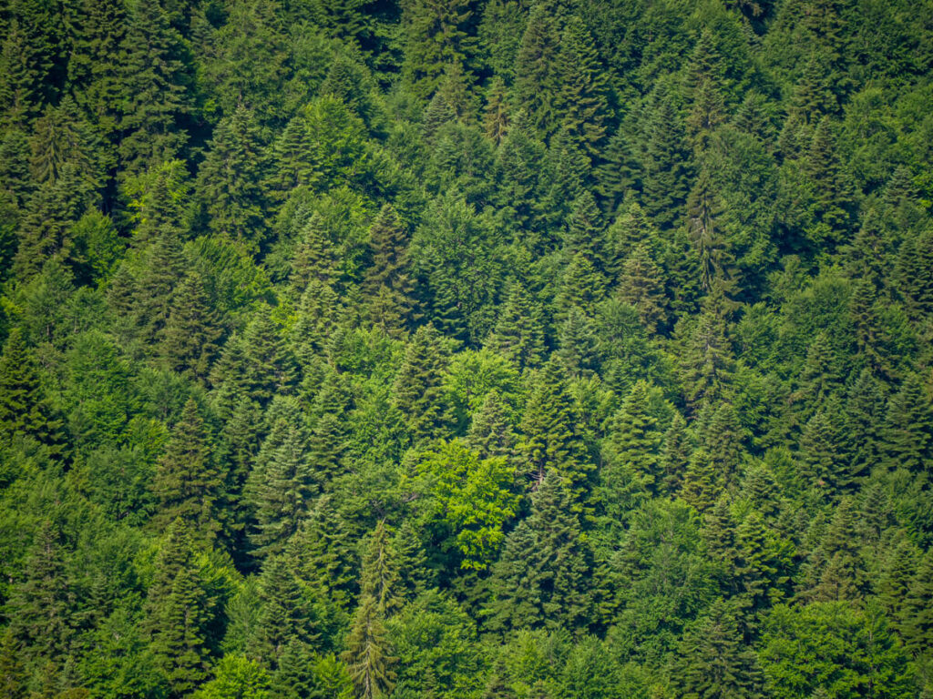
Ćurevac Peak is a 1,625-metre (5,331 ft) alpine summit surrounded by steep limestone slopes, dense conifer forests, flower meadows, and deeply incised river valleys. The mountain range here has been heavily shaped by glacial and river erosion over millions of years.
Tara River Canyon itself reaches around 1,300 metres (4,265 ft) deep at its deepest sections and extends for around 51 miles (82 km). It is the largest gorge in Europe and is considered the second largest canyon in the world after the Grand Canyon.
The viewpoint atop the peak sits above the canyon’s forested slopes, accessible via a relatively short and easy hiking trail that is one of the best things to do in Durmitor National Park.

Where is Ćurevac Peak?
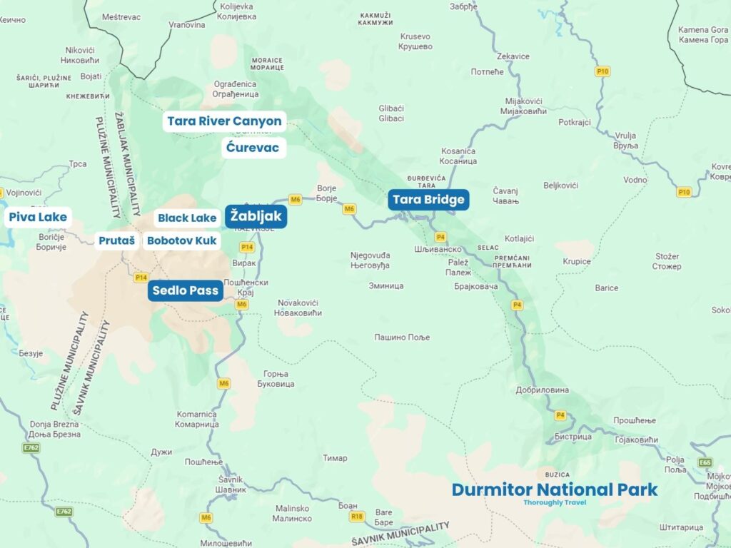
Ćurevac Peak is located on the northern side of Durmitor National Park in northern Montenegro. It sits proudly 1,625 metres (5,331 feet) above sea level and overlooks the Tara River Canyon and the village of Tepca.
The peak is part of the Durmitor massif, a limestone mountain landscape in the Dinaric Alps, which stretches across Montenegro and into parts of Bosnia and Herzegovina and Albania.
How to get to Ćurevac Peak
The only way to reach the Ćurevac Peak viewpoint is to hike. It’s an easy-to-moderate, 1.3-mile (2.1 km) trail that takes about an hour’s return.
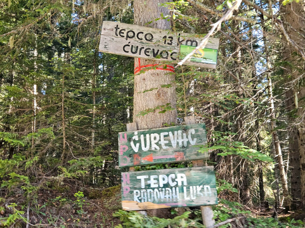
The easiest way to reach the trailhead for Ćurevac Peak is by renting a car in Montenegro and driving. Head north out of Žabljak in the direction of Nadgora. You’ll pass through forest, and you can follow wooden signs on the trees which indicate the way to Tepca, vidikovac (viewpoint), and Ćurevac.
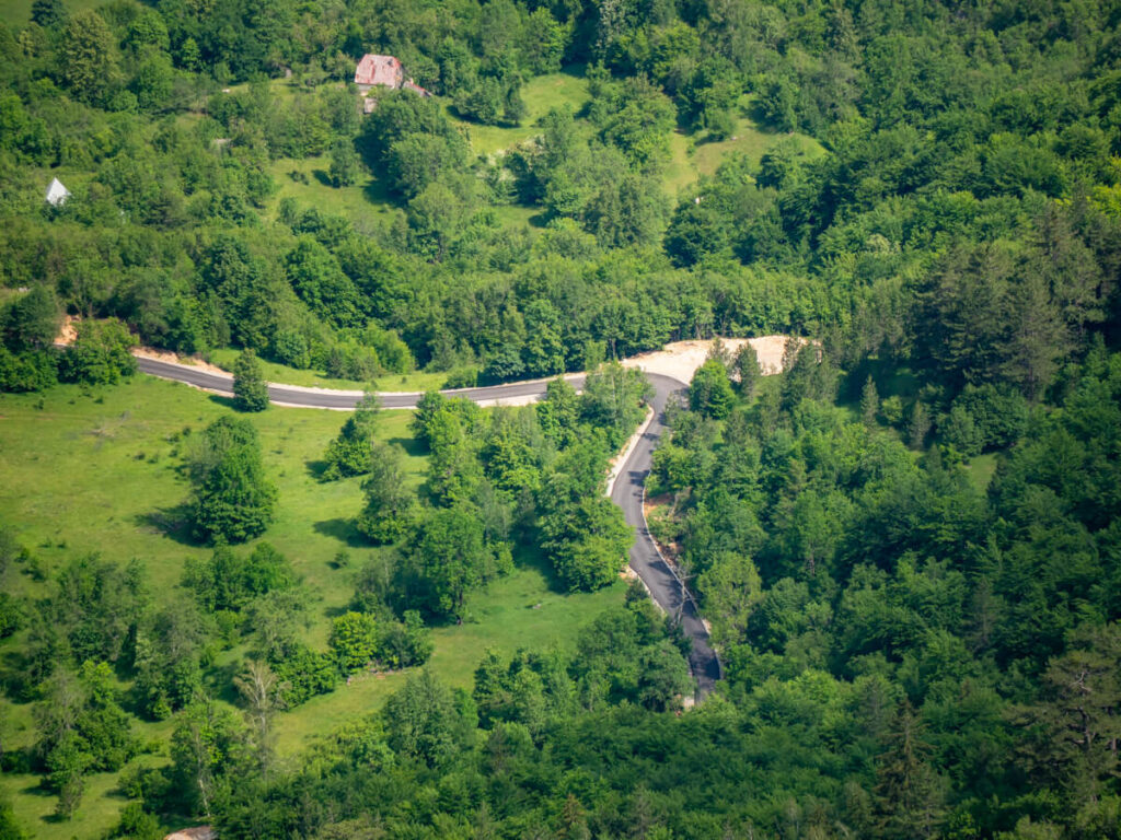
The road is paved, with some potholes, and very narrow. You’ll need to navigate passing other vehicles if anything’s coming the other way. Driving in Montenegro can be a little hair-raising at times, especially if you don’t have experience driving in the mountains abroad, so take it slowly, be prepared to stop, and don’t assume other drivers will give you much room.
There are no buses in the area. You could arrange a taxi from Žabljak, which costs around €10-15 one way, depending on the driver, season, and exact drop-off point. If you want to be sure you have a ride back, arrange a return taxi with the same driver in advance, agreeing on a pickup time and location before you start the hike.
Ćurevac Peak Trails and Trailheads
There are effectively three ways to approach Ćurevac Peak on foot:

The Ćurevac Peak Trail
We’d recommend hiking to the peak from the main Ćurevac Peak Trailhead I, which has a free gravel parking area for about 10 cars. There’s also a small restaurant over the road. It’s a pleasant out-and-back hike that takes you to the viewpoint in about 30 minutes.
If you choose to hike out-and-back from Trailhead II, the hike has similar stats, being a 1.5-mile (2.4 km) return, less than 100 metres elevation gain, and taking around an hour. There’s very limited roadside parking there, though.

Ćurevac Peak Trail Map
Below, we’ve embedded the trail map for the main Ćurevac Peak hike and the trail we recommend. It’s the route we followed, and it was very accurate.
Ćurevac Peak Loop
It is possible to turn the Ćurevac Peak hike into a loop, starting from one trailhead, walking out to the peak, and returning to the road via the other.
This is a good option if you’d like a slightly longer hike, but the downside of this is that you need to walk 1.3 miles (2.1 km) along the narrow main road, which has no dedicated pedestrian pavement, to connect trailheads I and II.
Ćurevac Peak from Žabljak
You can also hike to Ćurevac Peak directly from Žabljak, turning it into a much longer day hike. This is an option if you’ve arrived using public transport and don’t have a vehicle to reach the trailheads.
The exact stats on distance and elevation gain will depend on where you’re starting from in the town.
We honestly wouldn’t recommend this, as it requires spending most of your hike following the main roads through the north of the national park, which aren’t particularly scenic or hiker-friendly. Plus, there are several other hikes in Durmitor National Park that are much more rewarding with a similar length and better views.
Ćurevac Peak Fee
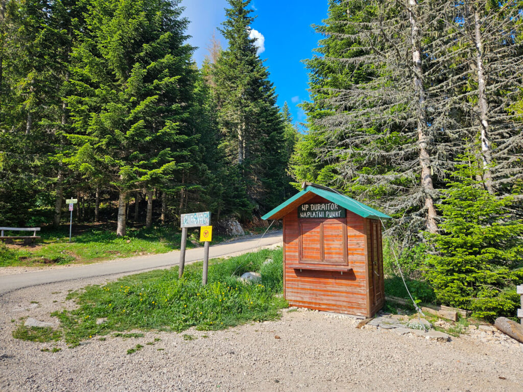
The trailhead for Ćurevac Peak sits right on the boundary of Durmitor National Park, while the peak is within it, so you’ll need to pay the national park entrance fee.
It’s €5 per person per day, but we’d highly recommend getting the annual pass for €13.50 if you plan to visit the other national parks too. You can also buy it online in advance.
There’s a ticket booth at the parking area for the main trail that’s manned during the daytime. No one was there when we arrived, but we were asked to show our annual passes when we returned to our car around 10:00 AM.
Bring cash in case the card terminal isn’t working. Then keep your ticket with you if you’re planning to spend the day exploring, as you may encounter checks elsewhere in the park.
What is it like to hike to Ćurevac Peak?
We chose to hike the main trail out-and-back from Ćurevac Peak Trailhead I, because:
The Ćurevac hike is relatively short compared with other trails in the park, especially Durmitor’s major summits, but the reward is comparatively huge.
Below we’ve broken down what it’s like to hike to Ćurevac Peak, including the trail, terrain, distance, difficulty and what you can expect from the route.
Our experience hiking Ćurevac Peak
We started our hike around 9:00 AM from the main trail parking area. It was a weekday in early June, and we were the first car to arrive, barring one campervan that had spent the night.
The trail is pretty obvious in the left corner of the car park, hugging the side of the forest on the right with a wooden fence on the left.
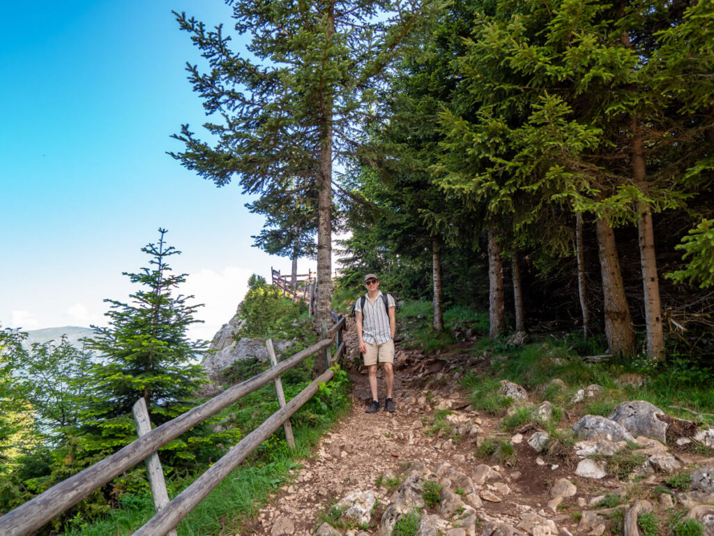
The terrain is immediately rocky and uphill, but it’s a pretty gentle ascent.
Almost immediately, you’ll be met with views of the Tara River Canyon on your left. If you’re just passing through the area but don’t want to do the hike, it’s worth just walking the very first minute for this view.
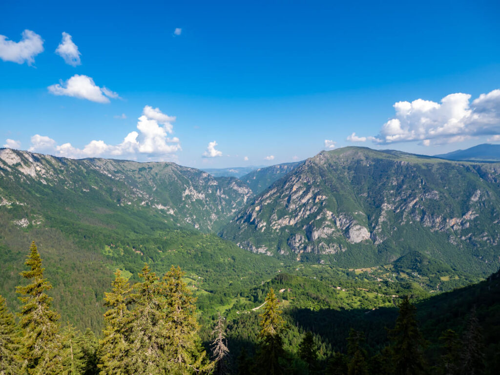
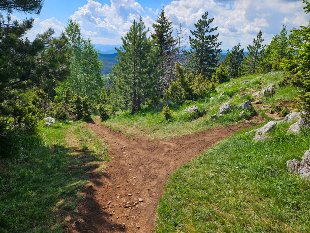
From the viewpoint, there’s a split in the path. The left heads along the edge of the unrailed cliff, so we’d recommend taking the right through the forest, although they rejoin into one path.
After about a minute more of walking, you’ll reach the iconic bench. It’s pretty close to the edge of the cliff, so watch your footing, but with the gaping views of the gorge behind it, it’s a pretty impressive photo spot.

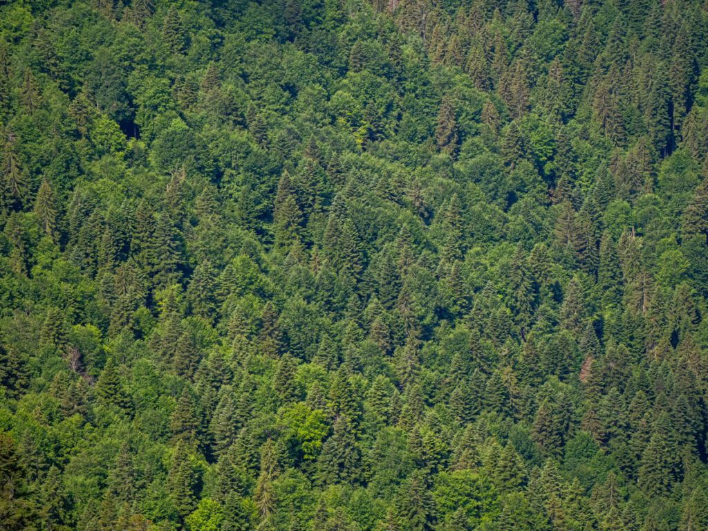
Now it’s time to walk through the peaceful forest. It’s another pretty gentle ascent, but you’ll find the path undulates, so you’ll spend almost as much time going down as you do up. Generally, we found the path went up, then downhill, then gradually up again, then down again, before the final push to the top of the peak.
The trail is a simple dirt forest path, so watch out for roots that can trip you up.

About two-thirds of the way there, the forest thins and you’ll be surrounded by meadows. This part is particularly nice in spring when colourful wildflowers dot the landscape.
After about 20-30 minutes of walking, depending on your pace, you’ll pop out of the forest onto a rocky plateau.

From here, it’s a short walk to the top, but we found the trail a little harder to find. Unlike other trails in the park, this one was missing the spray-painted red-and-white waymarkers. We kept checking that our location was in the right place on the AllTrails map for navigation instead.
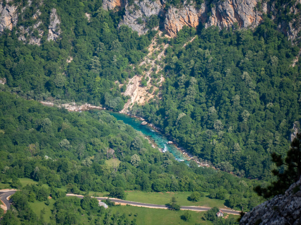
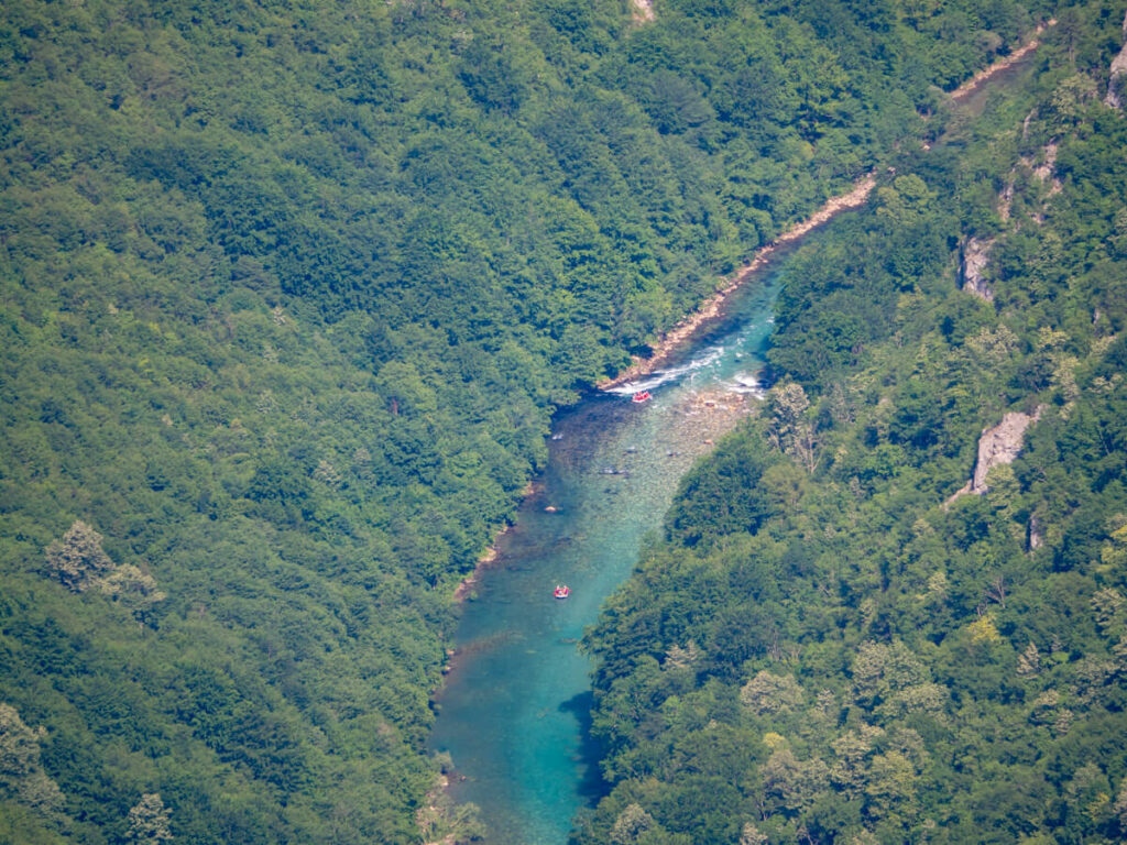
Eventually, the trail arrives at a flat viewpoint overlooking the canyon and the turquoise Tara River far below, surrounded by steep limestone walls.

At 1,625 metres (5,331 feet) above sea level, you’re perched high above the Tara River Canyon, with the river lying roughly 1,000 metres (3,281 ft) lower in this section of the gorge.
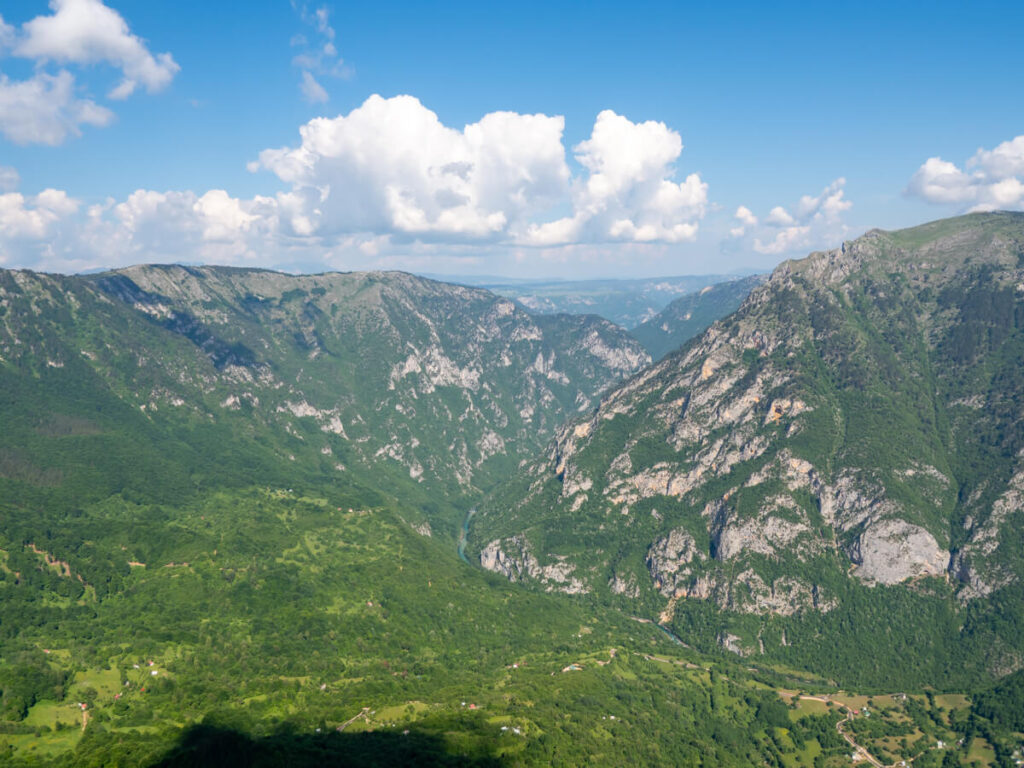
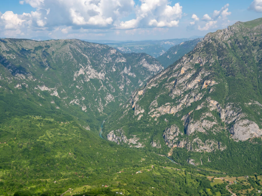
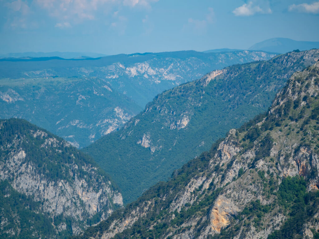
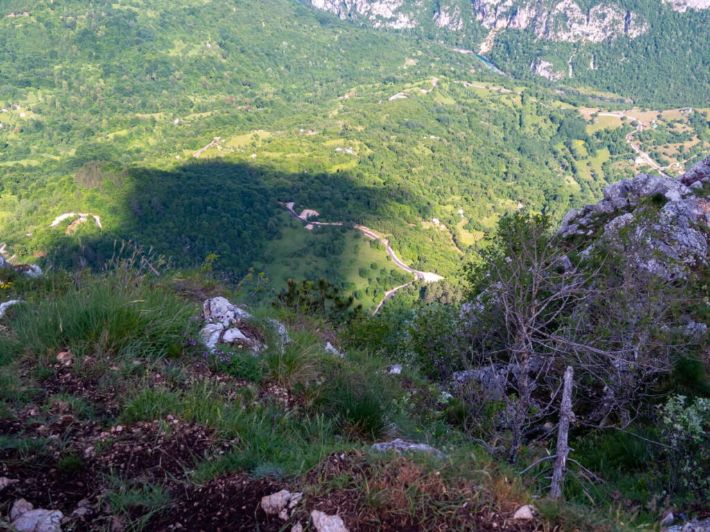
From the viewpoint, you can look deep into the canyon’s steep, forest-covered limestone walls, with Tepca village far below and the Tara River winding through the gorge.
You can look 360 degrees, seeing the river winding through the canyon from east to west.
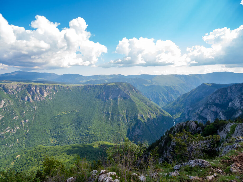
We accidentally lucked out with our timing to the top and saw a tour group of river rafters go through the canyon just after 9:30 AM.
The one thing we will say is we were surprised by how many bugs there were at the summit. There were quite a few flies, beetles, and other flying insects buzzing around the viewpoint, so we’d definitely recommend bringing insect repellent, particularly during the warmer summer months.
It meant we didn’t want to stick around for long after taking a few photos and admiring the view.
We had the viewpoint all to ourselves until a solo hiker arrived just before we departed. We returned the same way we’d come up.
On the way down, the trail was super busy. We were shocked by how many people we passed, including a big tour group of about 30 people. We didn’t know the trail was so popular.
It’s not a particularly wide or spacious trail, so we had to step aside a few times to let people pass. We’d definitely recommend doing this hike no later than 9:30 AM (earlier in summer) if you’d like it to be quiet.
We reached the car park almost bang on exactly an hour after we left. By this time, there were quite a few more cars than when we’d arrived.
Is hiking Ćurevac Peak difficult?
We’d class Ćurevac Peak trail as an easy-to-moderate hike, particularly if you drive to the trailheads close to the summit and take the short approach. There’s no technical climbing or difficult scrambling involved, but the trail is still a mountain path with rocky, uneven and occasionally steep sections, so decent footwear is important.
After the Bobotov Kuk hike, this was easy peasy for us, but we’ve marked it as moderate to reflect the elevation gain and the fact that the trail disappears sometimes near the top, where you need to watch your ankles on craggy boulders.
It’s worth mentioning that the trail becomes more open as you approach the canyon rim, so anyone uncomfortable with heights should take care around the edge, particularly in strong winds or wet conditions. Or just skip this one if you’re prone to vertigo and enjoy a flatter hike, like the 1-hour Black Lake loop.
We also think that if you’re older, not used to hiking, or not especially fit, you might find it harder than average due to the inclines and uneven path.
Is the Ćurevac hike worth it?
We think Ćurevac Peak is one of the best-value hikes in Durmitor National Park, particularly if you want to experience the Tara River Canyon without committing to a full-day adventure or forking out for a rafting trip.
The hike is relatively easy compared with more demanding routes like Bobotov Kuk, while the viewpoint is generally much quieter than popular spots like the Black Lake.
You’re also getting a clearer perspective of the canyon than you do from the roadside viewpoints along the Durmitor Ring Road, where you’re essentially looking at it from an obstructed distance.
However, it’s definitely not the most dramatic or memorable hike that we did in Durmitor National Park. The sheer number of bugs at the summit was also a bit of a downside, and while the views are impressive, we wouldn’t necessarily make a huge detour just to hike Ćurevac Peak.
If you’re already exploring this side of the park, we’d absolutely add it to your Montenegro itinerary. We’re just not sure everyone would consider it worth making a significant detour and paying the €5 entrance fee per person (if you don’t already have an annual pass) for what is essentially a 1-hour hike, particularly when there are so many other spectacular hikes and viewpoints around Durmitor National Park.
For us, as we arrived before the crowds, it was a lovely addition to our itinerary, was close to our accommodation at Guesthouse Planinarski dom Neviđen’o, didn’t cost anything since we had the passes, and added some nice variety to our trip. After spending so much time tackling longer and more demanding mountain hikes in Montenegro, it was refreshing to have a shorter, easier walk with a completely different perspective of the park.
When to hike Ćurevac Peak
The best time to hike Ćurevac Peak is between May and October. This is the general hiking season, when the access roads and trail are more likely to be free of significant snow.
As the hike isn’t particularly high, long, or demanding, we’d personally choose June or September, when you can enjoy more comfortable temperatures and fewer visitors without giving up too much in terms of weather.
July and August tend to bring the most reliable summer weather, but they’re also the busiest months, so expect more people around the viewpoint and on the trail.
If you’re visiting primarily for the views, timing your visit is important. The surrounding valley can sit in deep shadow when the sun is low, whereas visiting when the sun is higher (towards midday, depending on the time of year) gives you a much better-lit view into the Tara River Canyon.
We thought an early morning on a weekday in June was the sweet spot, with the trail quiet and the conditions pleasant – we had the trail all to ourselves and were the first people up the top. The east side of the canyon was still a little in shadow, though, so later in the morning would work best for optimal light.
Conditions can still change quickly in Durmitor National Park, particularly during the shoulder seasons, so we’d always recommend checking the mountain weather before setting out.
Where to stay to hike Ćurevac Peak
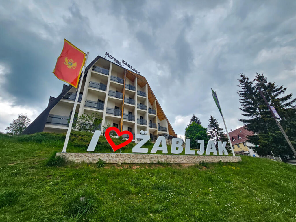
Staying in Žabljak is the obvious base for the Ćurevac Peak hike, being a 20-minute drive from the trailheads. It’s the gateway town to the national park with the most amenities, including supermarkets and restaurants. It has a wide range of accommodations, from budget hostels and boutique hotels to local guesthouses and self-catering apartments.
In Žabljak, Hostel Hikers Den is a good option for hikers on a budget, while Casa di Pino EcoLodge Hotel and Hotel Soa are boutique options with spa facilities perfect for unwinding after hiking.
If you have a rental car (which is advisable for reaching the Ćurevac Peak trailheads), we’d recommend staying in the countryside around Žabljak rather than in the town itself. You’ll get a quieter mountain setting while still being close enough to drive to Ćurevac and combine it with other attractions around the Tara Canyon.
We loved Guesthouse Planinarski dom Neviđen’o, which is a 15-minute drive from the Ćurevac trailhead, and our little wooden cabin at peaceful mountain A-frame cottages, which is further away but well-located for exploring the southern part of the national park.
Tips for hiking Ćurevac Peak
Here are our top tips for hiking Ćurevac Peak:
What to pack to hike Ćurevac Peak
It’s best to be prepared for your Ćurevac Peak hike. Don’t forget to pack your:
Read next:
An Ultimate Guide to Visiting Durmitor National Park
Where to Stay for Durmitor National Park: Cool Cabins + Top Hotels
15 Best Things to Do in Durmitor National Park + Our Itinerary
Driving the Durmitor Ring Road Route Guide
12 Best Hikes in Durmitor National Park From Easy to Expert
What It’s Really Like Hiking Bobotov Kuk
A Comprehensive Guide to Visiting the Black Lake
